Thruscross Reservoir from Blubberhouses
The middle option in the Washburn Valley reservoir series - more commitment than the short loops but less than the full three-reservoir circuit. Thruscross from below gives the valley its proper context.
Effort: Moderate distance, manageable climb
Underfoot: Mostly paths and tracks
E2·T1 — how we grade routesThe middle option in the Washburn Valley reservoir series - more commitment than the short loops but less than the full three-reservoir circuit. Thruscross from below gives the valley its proper context.
A 13.5km route through the Washburn Valley from the Blubberhouses start point, climbing north to circuit Thruscross Reservoir before returning through the valley.
The route
Starting from the Swinsty Moor car park area near Blubberhouses (LS21 2NP), the route follows the valley north on the Yorkshire Water tracks, climbing steadily alongside the Washburn stream toward the upper reservoir.
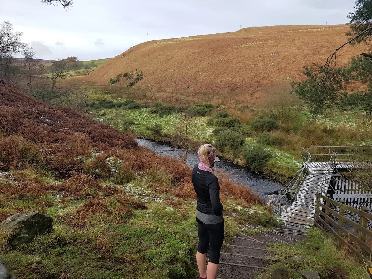
Thruscross Reservoir comes into view as the valley narrows above Fewston. The route circuits the upper reservoir before returning south through the valley on a parallel path. The combination of the valley approach and reservoir circuit gives the run a satisfying structure: steady climb through the dale, circuit of the top reservoir, descent back to the start.
Total distance is 13.5km with 77m of ascent. The elevation figure reflects the genuine character of the terrain - this is a valley route with moderate undulation rather than a hill run. The tracks are excellent throughout and well-maintained by Yorkshire Water.
The Washburn Valley
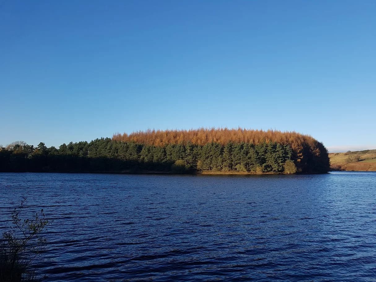
The Washburn was progressively dammed between 1876 and 1966 to feed water to Leeds. The four reservoirs - Lindley Wood, Swinsty, Fewston, and Thruscross - fill the valley floor in sequence. Running north from Blubberhouses means passing through all of them in order, with Thruscross at the top representing the furthest and most remote point of the chain.
The valley has a particular quality in autumn when the surrounding woodland turns: the reservoirs reflect the colour and the combination is as good as anywhere in the region. Spring brings birdlife to the reservoir margins.
Practical notes
The car park at Swinsty Moor (LS21 2NP) is the practical start point - toilets on site and a height barrier for large vehicles. An alternative start from Stack Point (HG3 1SU) on the eastern bank of Swinsty Reservoir shaves some distance and gives a different approach. No public transport serves this area directly; car is the only realistic option for most runners.
Height barriers at car parks (2.1€“2.2m). Tracks shared with cyclists. No facilities at Thruscross.


Common questions
More routes in Nidderdale
 VERY HARD
 EASY
EASY MODERATE